Grand Canyon and Southwest USA Travel Itineraries
Multi-destination route planning for canyon landscapes, desert parks, and scenic drives
pseudobrook.org provides research-based itinerary design connecting national parks across Arizona, Utah, Nevada, and New Mexico.
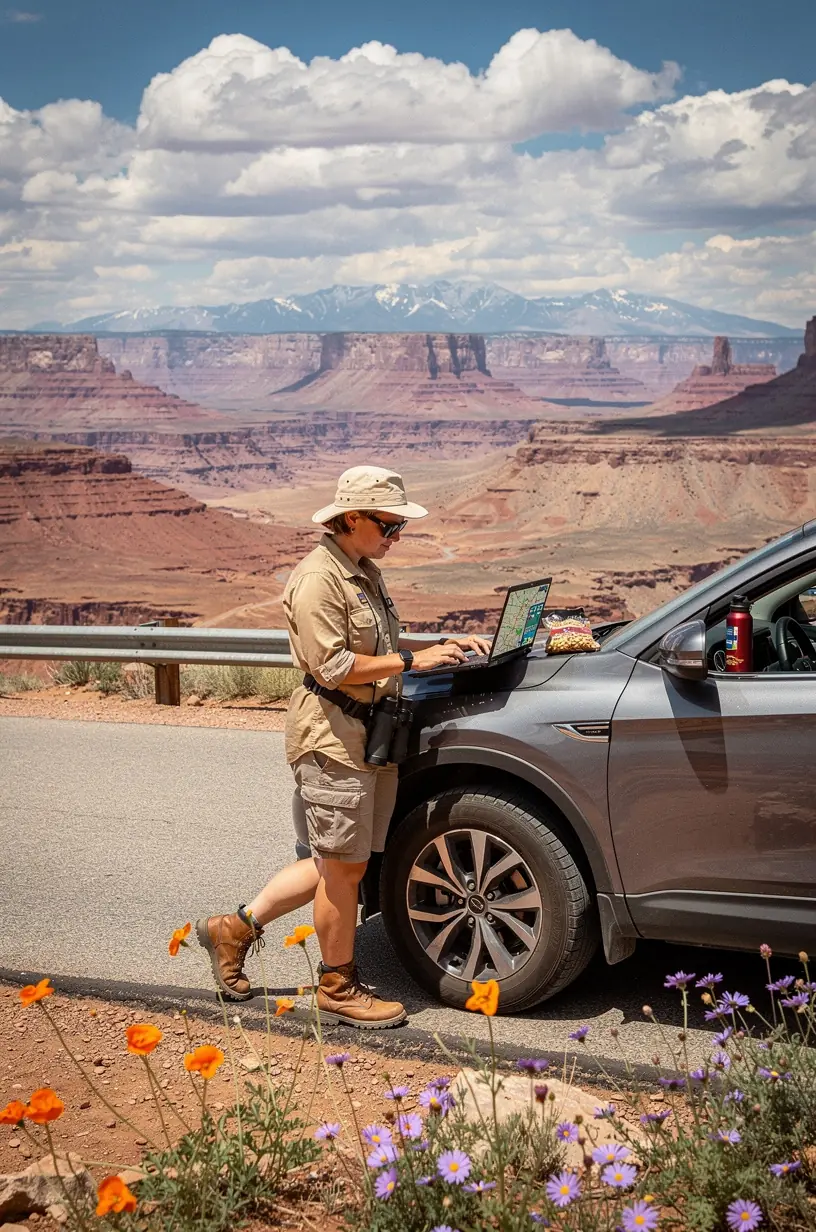


Integrated regional itineraries for Southwest USA road trips
Multi-destination sequencing connects Grand Canyon, desert parks, scenic drives, and regional attractions
pseudobrook.org builds coordinated travel plans that link multiple Southwest destinations into logical daily routes. Each itinerary includes driving distances, park entry notes, lodging areas, and attraction sequence.
Multi-Park Routing
Itineraries connect 3 to 6 regional destinations per trip, including Grand Canyon, Zion, Bryce Canyon, Arches, Monument Valley, and Sedona.
Daily Driving Schedules
Each day includes mapped driving segments, estimated mileage, fuel stop locations, and arrival windows for scenic viewpoints.
Park Entry Logistics
Plans note entry gates, reservation requirements, seasonal closures, permit needs, and shuttle schedules for national parks.
Lodging Zones
Suggested overnight towns are selected by proximity to the next day's route, with options near park entrances or highway corridors.
Attraction Sequencing
Attractions are ordered by geography and operating hours to reduce backtracking and align with park opening times.
Scenic Drive Integration
Routes incorporate designated scenic byways such as Utah State Route 12, Highway 89A, and Desert View Drive.
About pseudobrook.org
Travel planning resource for the American Southwest
pseudobrook.org operates as an informational resource for travelers planning extended road trips through the Southwest United States. Content focuses on route sequencing, park logistics, and regional attractions.
Connected Canyon Routes
Link Grand Canyon viewpoints, desert parks, and regional landmarks into efficient daily routes that reduce driving time and maximize exploration.
Regional Park Access
Include entrance guidance for national parks, monuments, and scenic byways so travelers avoid ticket confusion and unexpected access fees.
Desert Drive Maps
Provide turn-by-turn directions for iconic Southwest highways with fuel stops, viewpoints, and rest areas clearly marked along the way.
Local Travel Insights
Deliver practical guidance on lodging, dining, and seasonal conditions to help travelers prepare realistically and enjoy smoother journeys.
Integrated Route Planning
Itineraries connect 3-5 destinations per trip with daily driving distances listed.
Itinerary Planning Services
Southwest USA route and travel planning options
pseudobrook.org offers several planning formats for trips through the Grand Canyon region and surrounding desert parks.
Custom Multi-Park Itinerary
Personalized route plan connecting Grand Canyon with 3-5 additional parks based on trip length and entry points.
Includes: day-by-day route map, driving time estimates, park entry notes, accommodation suggestions by town, and seasonal timing guidance. Typical delivery: 5-7 business days after questionnaire completion.
Scenic Drive Route Guide
Detailed driving route highlighting viewpoints, rest stops, and fuel locations between Southwest destinations.
Includes: turn-by-turn route notes, mileage between stops, estimated drive times, gas station locations, and road condition sources. Covers routes such as Highway 89, Highway 12, and Monument Valley access roads.
National Park Logistics Plan
Operational plan covering park entry, permits, shuttle systems, and crowd timing for Southwest parks.
Includes: entry reservation requirements, shuttle schedules, trailhead parking notes, permit application deadlines, and visitor center hours. Updated seasonally based on NPS announcements.
Regional Attraction Map
Organized list of attractions between major parks, including viewpoints, museums, and local stops.
Includes: 15-25 waypoint suggestions, operating hours, admission costs, and average stop duration. Organized by geographic corridor for route integration.
Seasonal Timing Report
Monthly analysis of weather, crowd levels, road closures, and park accessibility across the Southwest.
Includes: temperature ranges by location, precipitation averages, crowd index by month, seasonal road closure list, and festival or event calendar. Based on historical NPS visitor statistics and NOAA climate data.
Canyon and Desert Photography Route
Route plan organized around sunrise, sunset, and blue-hour photography locations in canyon country.
Includes: 10-15 designated photo locations, GPS coordinates, optimal timing by season, equipment access notes, and nearby lodging for early departures. Does not include photography instruction.
Full Southwest Road Trip Package
Detailed two-week itinerary covering Grand Canyon, Utah national parks, and Arizona desert destinations.
Includes: 14-day route plan, lodging recommendations for each night, daily activity options, restaurant suggestions by location, fuel and supply stop list, and backup indoor activities. Price: $180 per itinerary. Delivery: 7-10 business days.
Contact
Reach the planning team
Use the form below or the contact information in the footer.